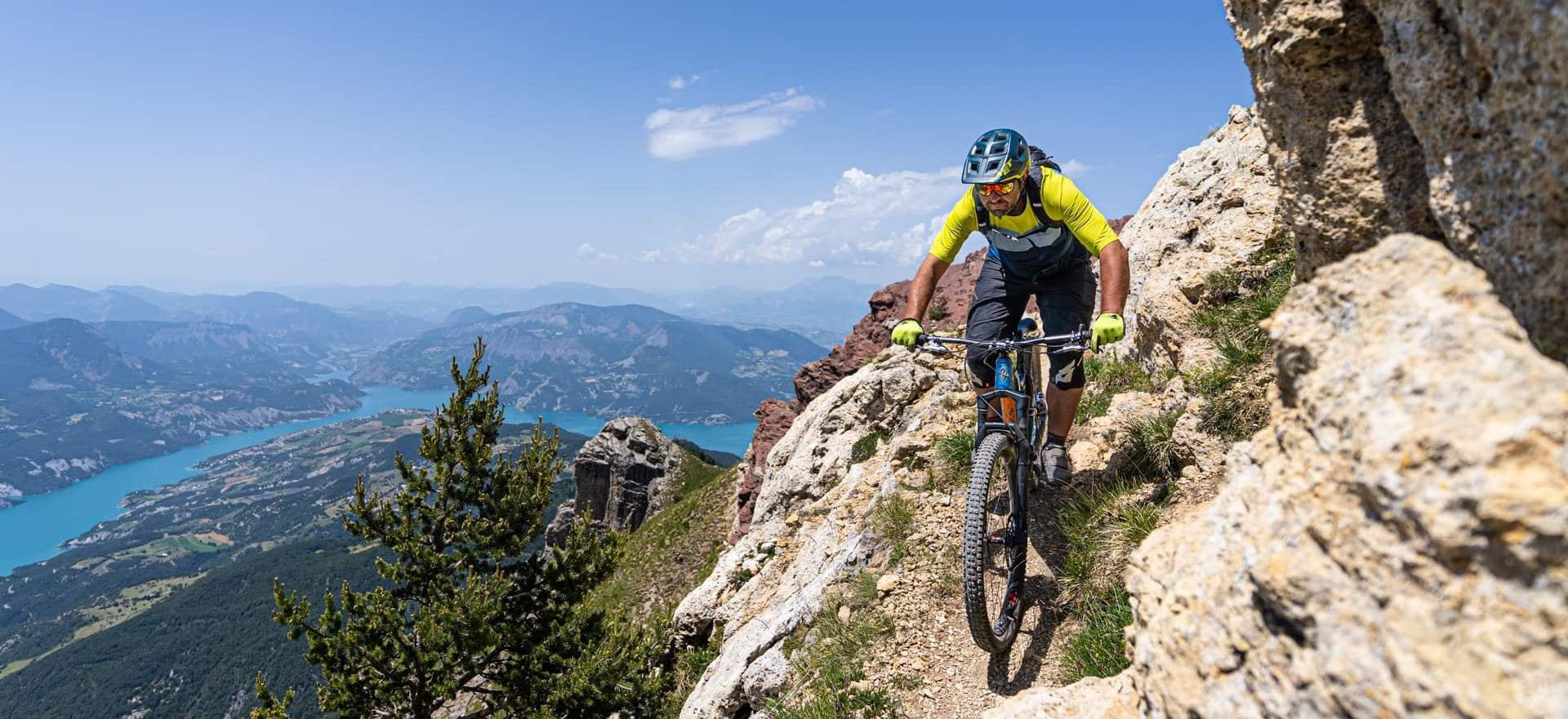


VTOPO Cyclo Isere
- In stock, ready to ship
- Papier écologique, label Imprim’Vert
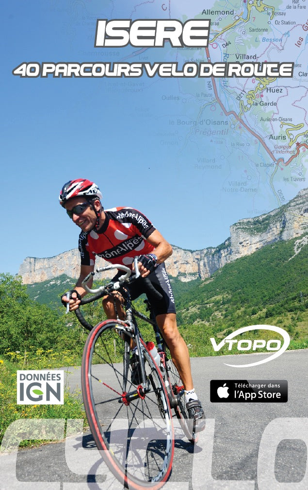
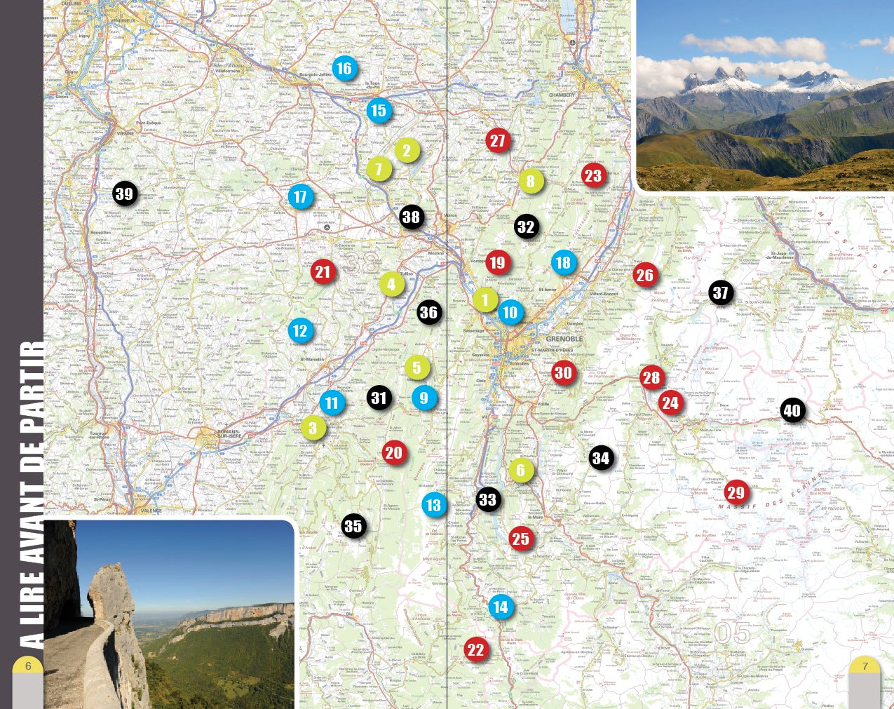
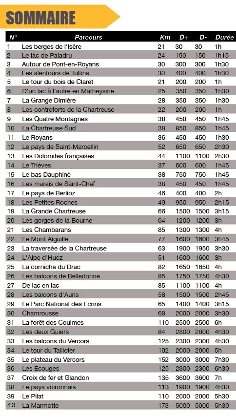
The Isère, what a great playground for cycling enthusiasts! Hills and plains of the northern part offer varied routes. Rivers and lakes water landscapes of hardwoods, meadows and orchards which give pride of place to the cultivation of walnuts. Further south, the “little mill” is often de rigueur. The efforts of cyclists will be rewarded by the wild beauty of the Vercors and Chartreuse mountains. Finally, the alpine part, around the peaks of Belledonne, Taillefer and Oisans, will offer beautiful escapades to the assault of the passes making the legend of the Tour de France. This topo is an invitation to discover Isère for everyone, whatever their level of practice. For each route, a short summary sets the tone of the hike, then a map and a description make it easy to follow the route. The courses are classified according to the FFC rating starting with green, increasing to blue and red then turning to black for the most seasoned. Good road !