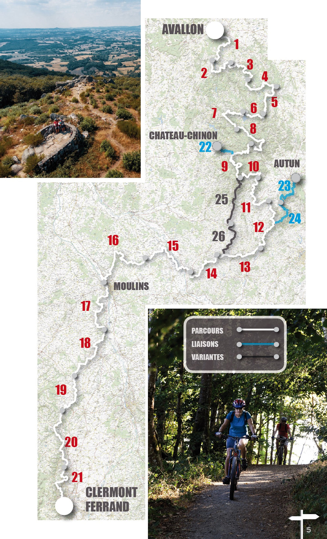
Navré de lire cela. Pour ce qui est de la description du tracé, vous dites à la fois qu'elle n'est plus utile étant donné qu'on a tous des GPS et à la fois qu'elle n'indique pas assez les difficultés, par exemple les grosses côtes où on doit pousser le vélo ou bien les descentes dangereuses... c'est un peu contradictoire ;-)
Le déroulé de l'itinéraire en lui même est principalement là pour s'orienter, même si il inclut souvent des indications à propos de difficultés remarquables. C'est davantage dans le 'cartouche' de l'étape, qu'une description brève un peu plus suggestive est faite avec ce genre d'observations qui ne se voient pas à travers une trace GPS.
Ceci dit, devoir pousser le vélo ou pas est souvent subjectif, et nous ne pouvons pas l'inclure dans un topo destiné à tous. Surtout à l'heure de l'électrique : les montées où une bonne part du commun des mortels souffraient en musculaire à l'époque sont maintenant débonnaires en électrique par exemple...
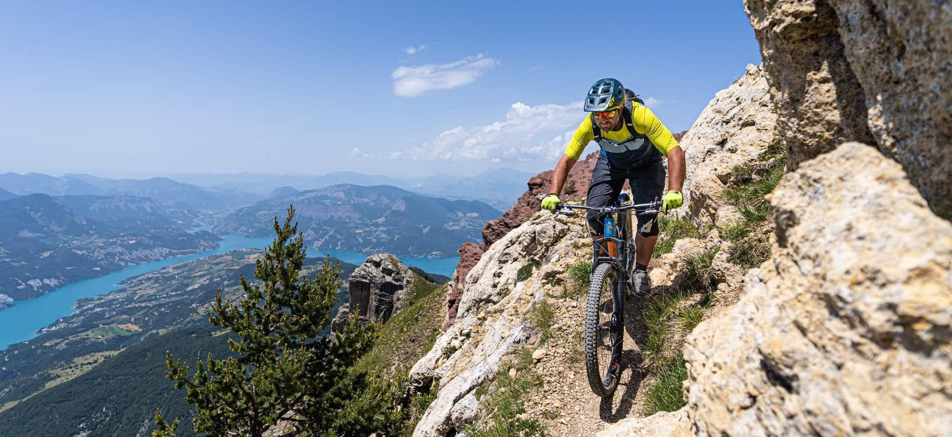
Notre échelle de difficulté ouverte V1, V2, V3, V4, etc... est uniquement technique et objective basée sur des critères come 'des marches à franchir de plus de 40 cm de haut'. Et dans le sens de la descente, car ça n'aurait pas de sens de parcourir les portions les plus techniques à la monté.
La difficulté à la montée est donc à déduire du dénivelé et kilométrage de l'itinéraire, et mise à part les itinéraires spécifiques type 'enduro', sauf exception précisée en descriptif de celui-ci, elle est en cohérence avec la difficulté tehcnique.
Le profil de l'étape peu également être une bonne information, c'est pour cela que sur l'ouvrage dont vous parlé un profil est présent en plus du tracé sur carte contrairement à ce que vous dites. Certes, il est relativement discret, mais si vous avez les traces gps proposées avec l'ouvrage, vous pouvez l'afficher très simplement dans le format que vous souhaitez dans votre logiciel préféré.
Navré que l'expérience VTOPO de vous ai pas 100% convaincu, si jamais vous avez l'occasion de tester d'autres ouvrage de notre collection hors itinérance, nous serions ravis de connaitre votre avis !